 Jigsaw
Brazil Capitals Map Quiz
A state capital is named: can you find its state on the map of Brazil? Tap the right one in this free Brazil capitals map quiz, ten at a time or all 27.
Loading the quiz…
About this quiz
Here you see the capital and look for its state on the map, so you learn where each capital is, not only its name. Most capitals of the Northeast lie on the coast, from São Luís to Salvador, while Manaus stands in the middle of the Amazon rainforest and Macapá on the equator. A wrong tap shows the state you hit and its capital, and gives you a second try for half a point.
Play ten questions or all 27 in one go. Your best score stays in this browser, and you can send a friend a link to the same questions.
The wrong answers come from the same region first, so neighbours such as Paraíba and Rio Grande do Norte or Mato Grosso and Mato Grosso do Sul are easier to mix up.
State flags: Wikimedia Commons (public domain). Map outlines: Natural Earth (public domain).
The 26 States of Brazil, the Federal District and Their Capitals
Brazil has 26 states and a Federal District, where the national capital, Brasília, stands. Here are all 27 with their capital cities.
| State | Capital |
|---|---|
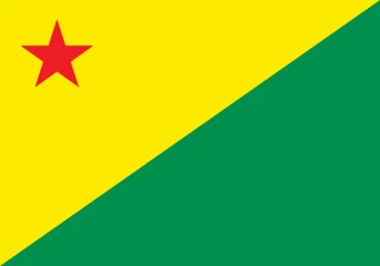 Acre | Rio Branco |
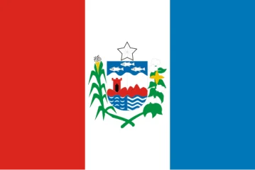 Alagoas | Maceió |
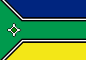 Amapá | Macapá |
 Amazonas | Manaus |
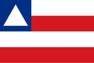 Bahia | Salvador |
 Ceará | Fortaleza |
 Espírito Santo | Vitória |
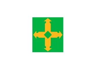 Federal District | Brasília |
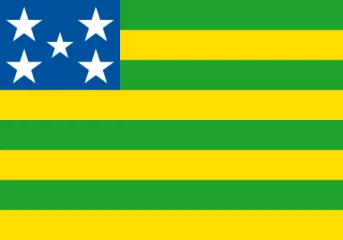 Goiás | Goiânia |
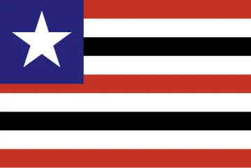 Maranhão | São Luís |
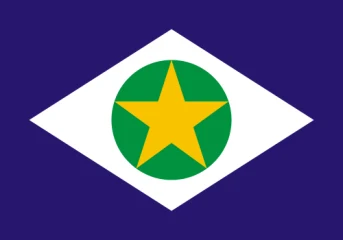 Mato Grosso | Cuiabá |
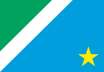 Mato Grosso do Sul | Campo Grande |
 Minas Gerais | Belo Horizonte |
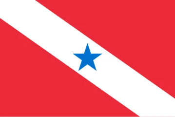 Pará | Belém |
 Paraíba | João Pessoa |
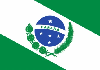 Paraná | Curitiba |
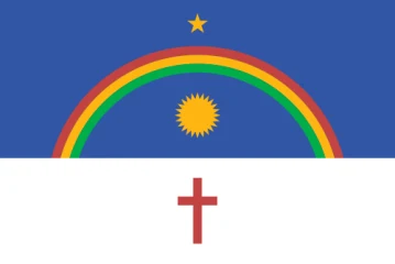 Pernambuco | Recife |
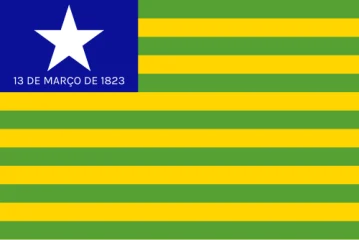 Piauí | Teresina |
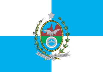 Rio de Janeiro | Rio de Janeiro |
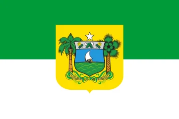 Rio Grande do Norte | Natal |
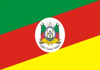 Rio Grande do Sul | Porto Alegre |
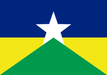 Rondônia | Porto Velho |
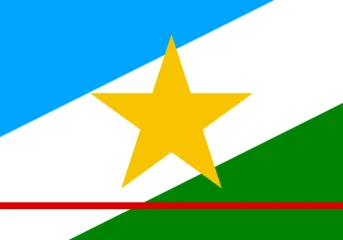 Roraima | Boa Vista |
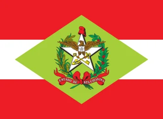 Santa Catarina | Florianópolis |
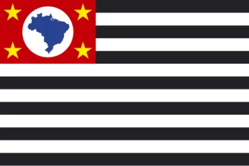 São Paulo | São Paulo |
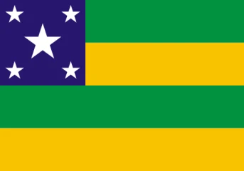 Sergipe | Aracaju |
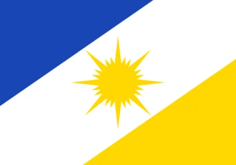 Tocantins | Palmas |
Explore the country in puzzles: The Most Beautiful Places in Brazil · Across the Americas